The Uneven Reach of the State: A Novel Approach to Mapping Local State Presence

Abstract
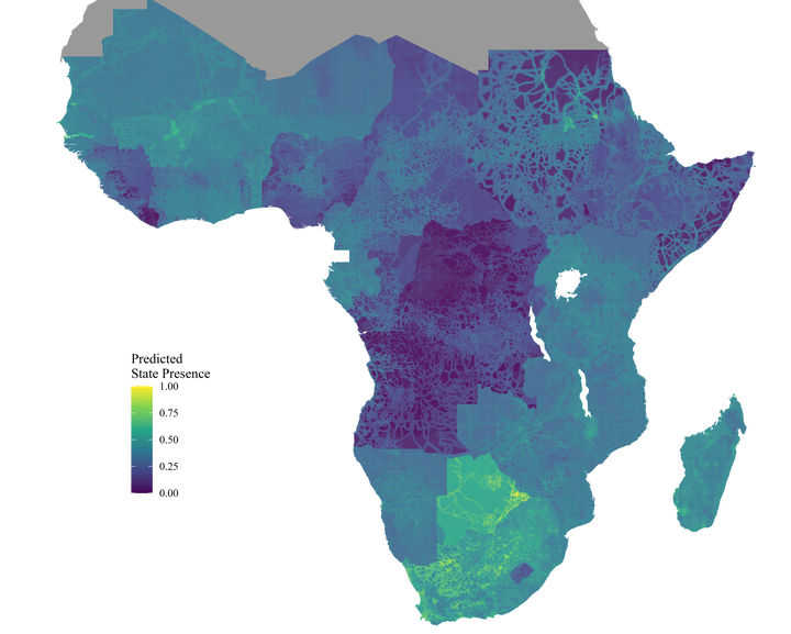
The ability of states to exercise authority often varies considerably within their borders, a feature that influences both development outcomes and conflict dy- namics. Yet, we lack reliable empirical measures of the uneven reach of states. In this paper, we develop a methodology to predict state presence at granular spatial resolutions and demonstrate the approach using data from Sub-Saharan Africa. We combine a range of publicly available data which indicate state presence—e.g., travel time to the capital—with geolocated survey data of residents’ experiences with subnational governance. Then, we employ a machine learning algorithm that learns how the input variables relate to experienced state presence and extrapolates the predictions such that we obtain a measure of local state presence across all of Sub-Saharan Africa. We validate the resultant measure through a range of tests and showcase its usefulness by demonstrating how local state presence influences development outcomes.